Community Analysis
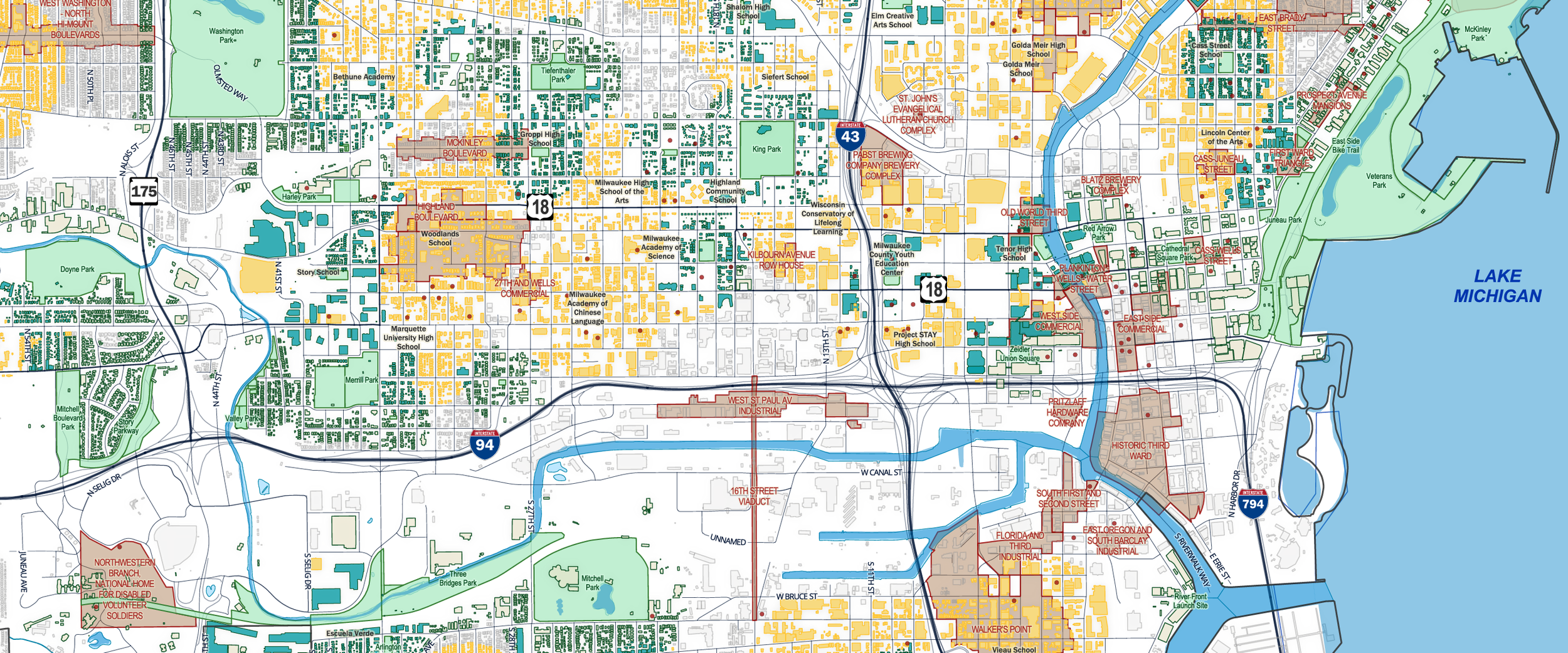
The community map for Milwaukee, Wisconsin involved downloading the OpenStreetMap building layer along with parks, schools, and road data, then cartographically combining and buffering them so buildings near schools and parks appear in green. The map uses Milwaukee Bucks cream and Milwaukee Brewers yellow as an homage to the city’s teams and the building footprints that define this great city on a Great Lake. The parks follow the classic Google Maps park theme, a color approach Craig likes to use for clarity and familiarity across projects.
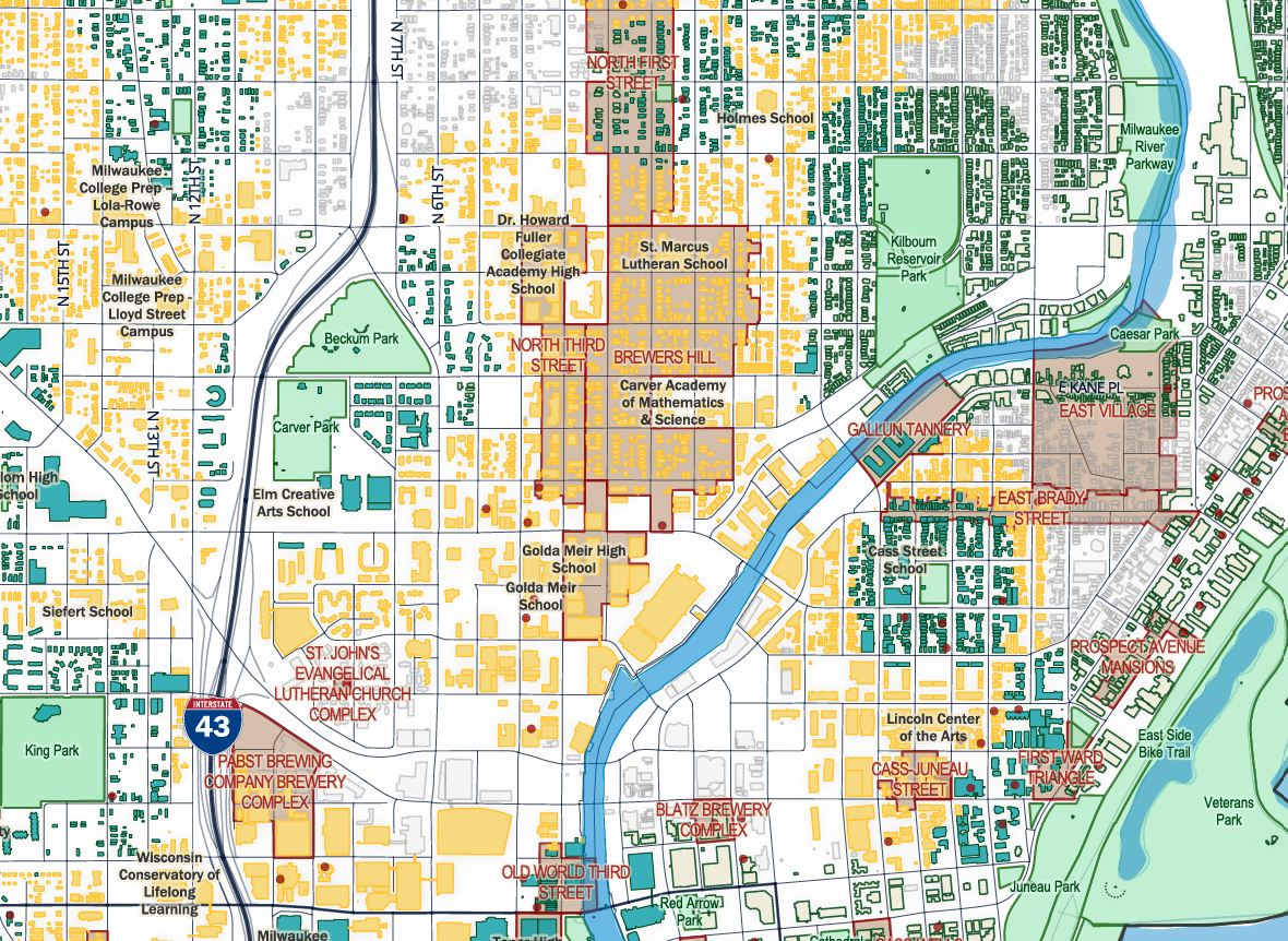
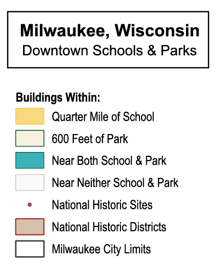
The map also shows the national historic districts in brown and individual historic sites in red, highlighting the layered history and complexity of the neighborhoods surrounding downtown Milwaukee.
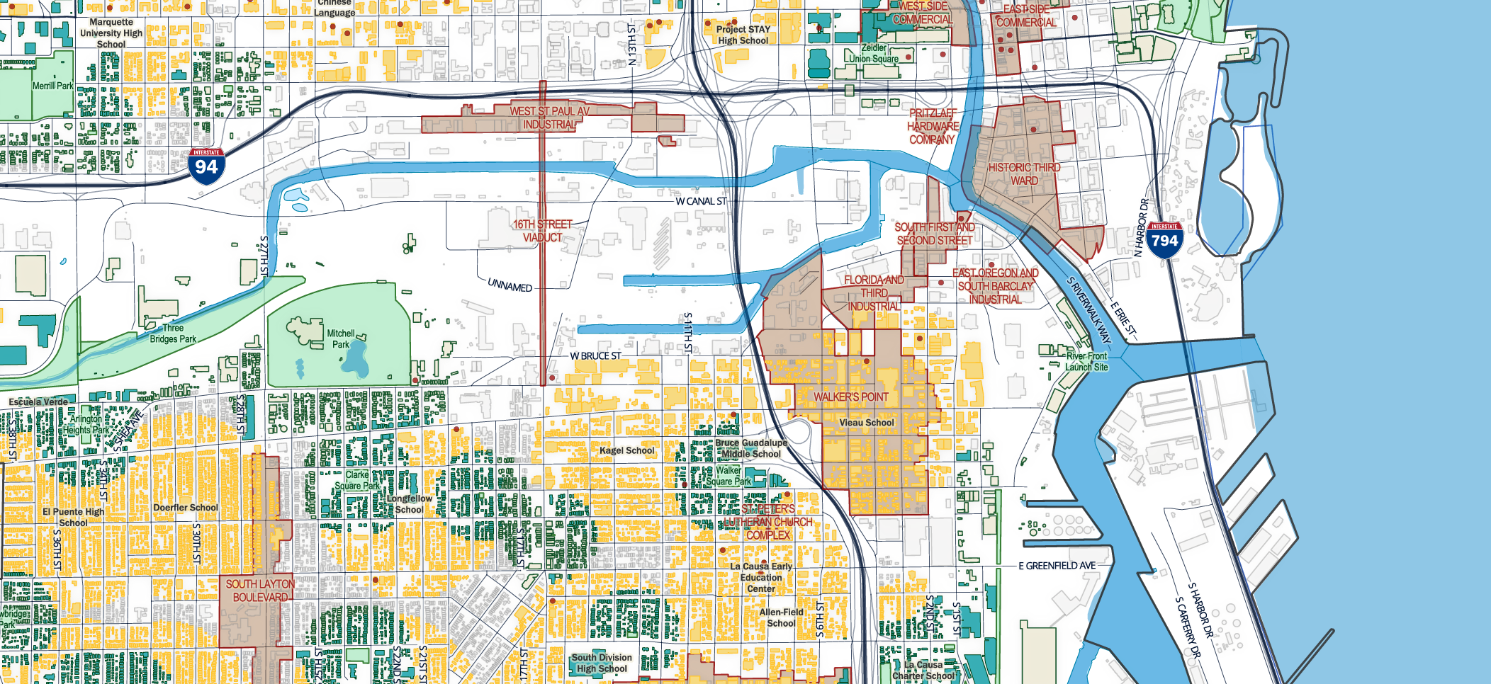
There is a dearth of schools and parks throughout the industrial belt along Interstates 94 and 794, creating a noticeable gap compared to the surrounding neighborhoods.
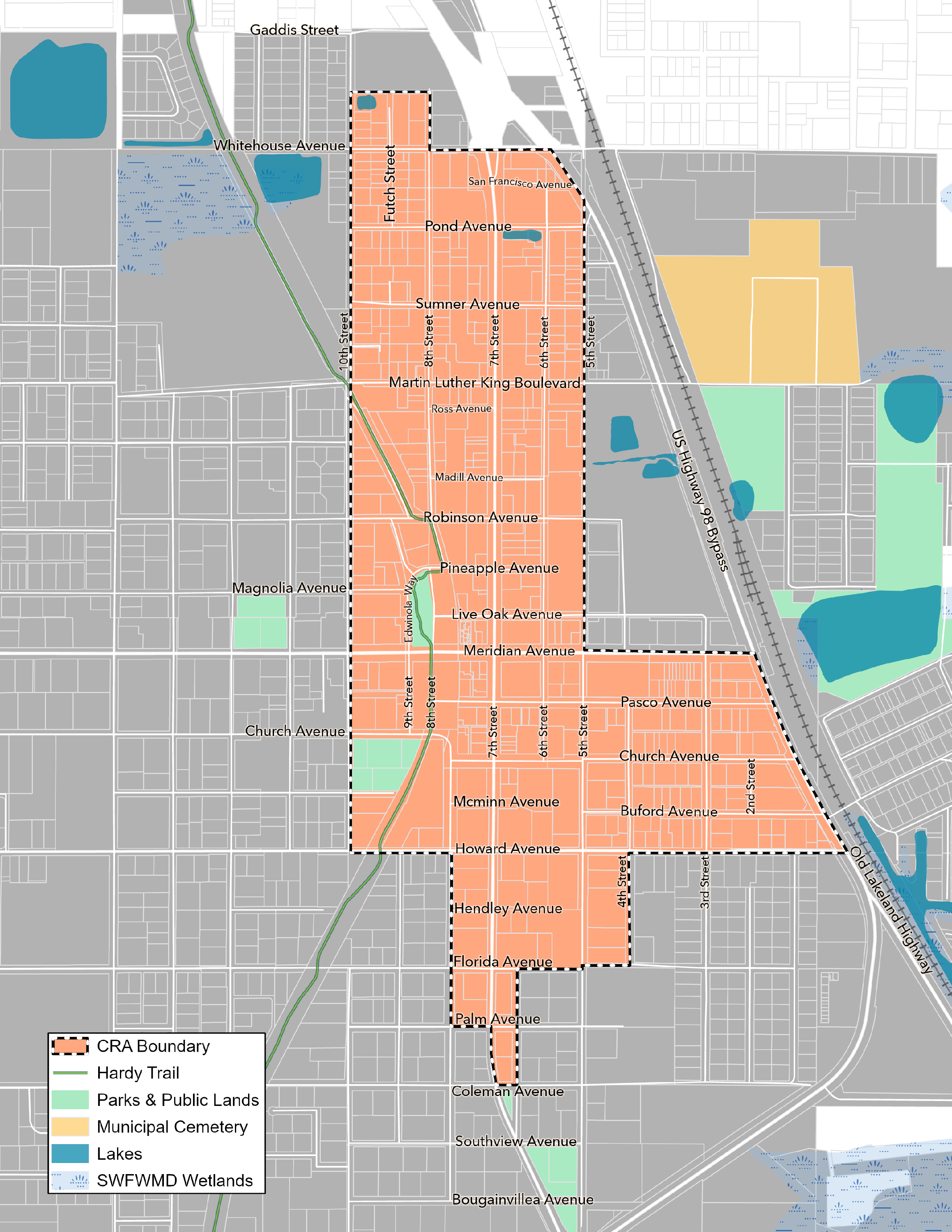
This is a widely circulated boundary map of the Community Redevelopment Area in Dade City, used to clearly identify properties eligible for building improvement grants, façade upgrades, and signage assistance.